
Shurley Wildlife & Habitat Services
Hunting property management for serious landowners across Georgia, Florida, and the Southeast — built around food plots, cover, travel corridors, and science-backed strategy.
Why Many Hunting Properties Underperform
Land across the Southeast, especially hunting land, has been mismanaged and underutilized for decades.
Hunting property management is more than forest management. While timber provides value and habitat management is beneficial, it does not necessarily produce strong deer, turkey, and quail populations across much of the Southeast.
Travel corridors, food plots, edge, and cover with a mix of forest management practices allow hunting properties to support more wildlife and provide excellent hunting opportunities.
Land is a finite resource.
Think wildlife conservation.
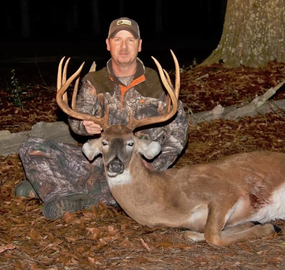
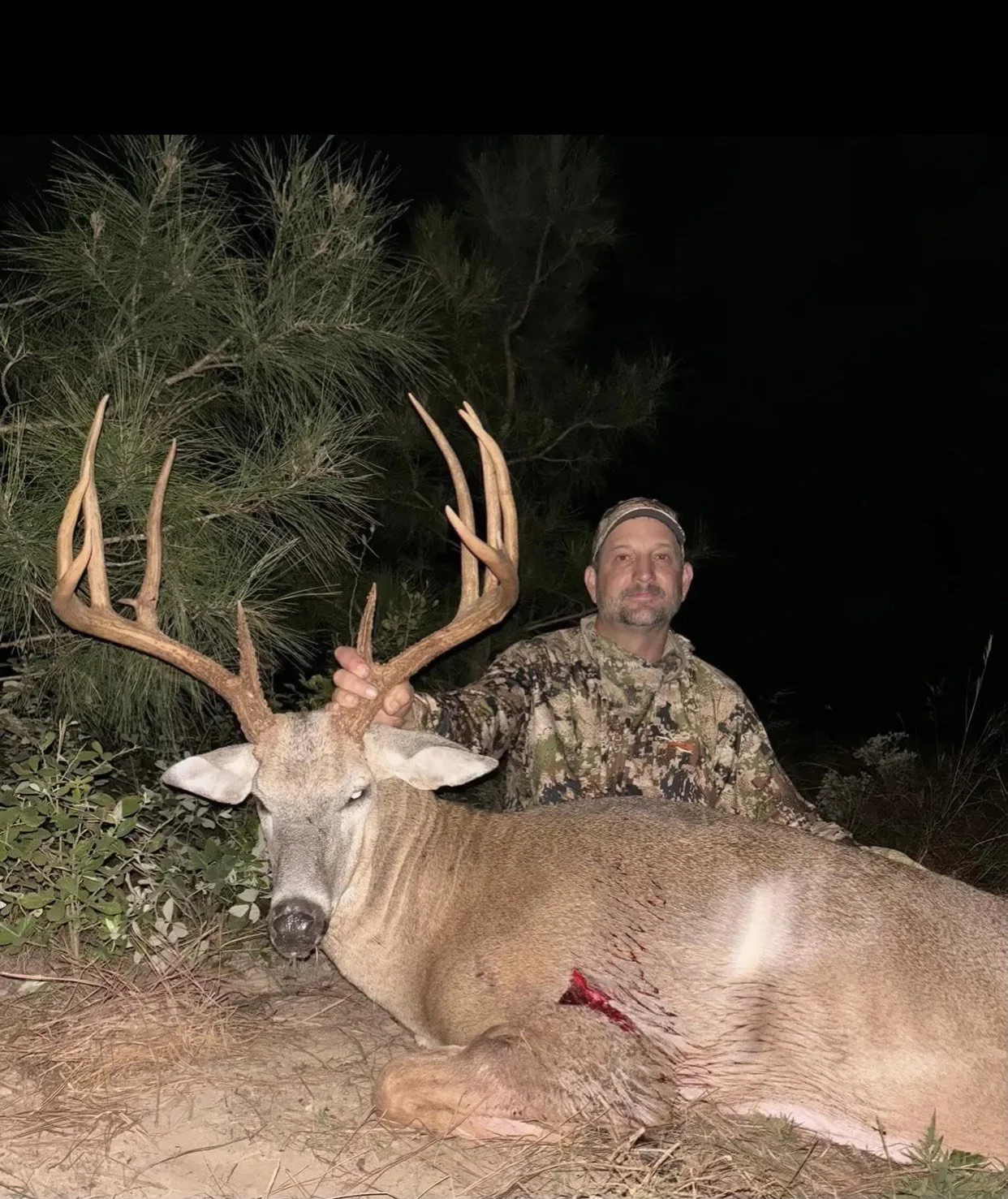
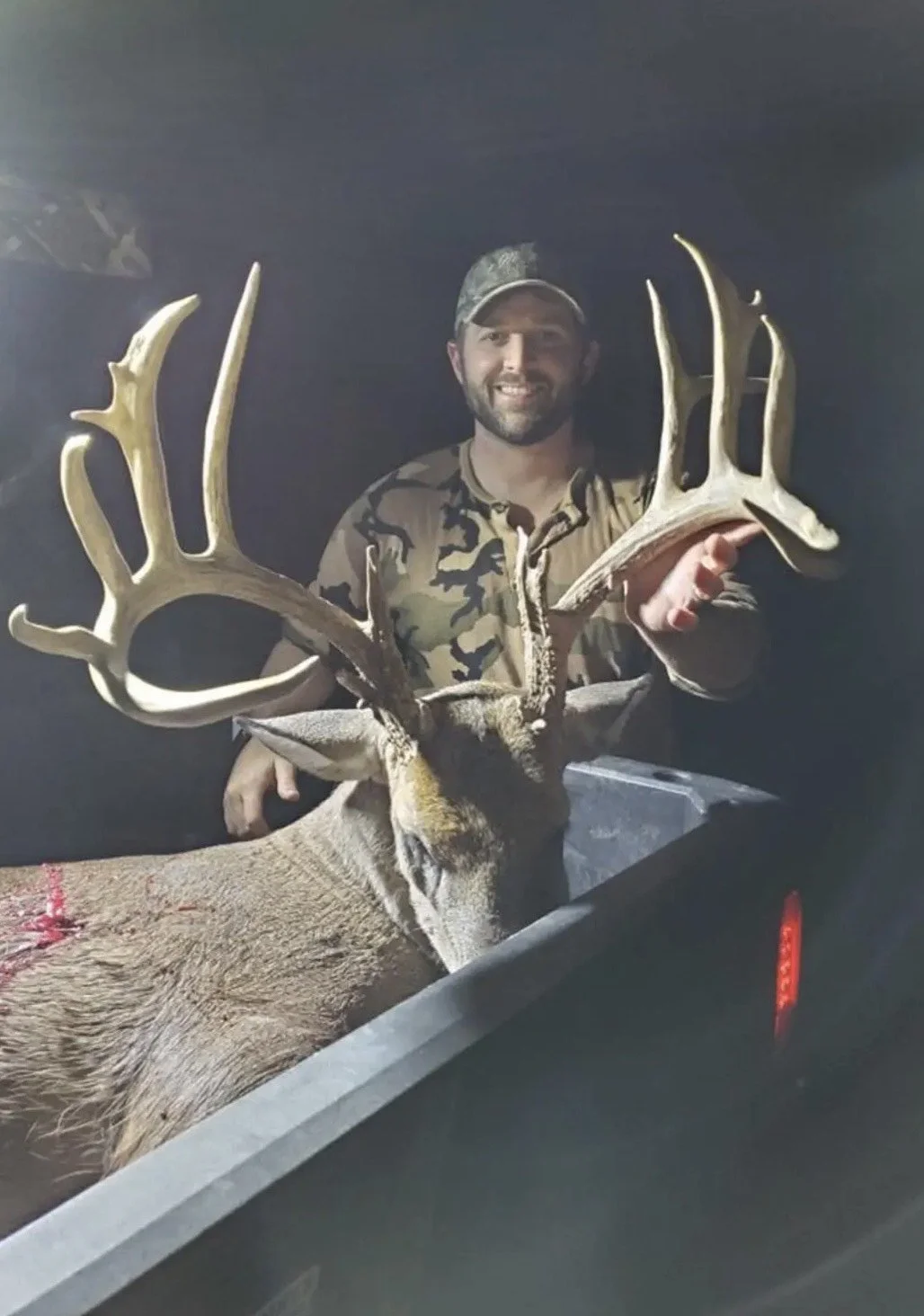
A Flagship Hunting Property Design
In 2015, Matt Shurley developed a management framework that brings food plots, cover, edge, and travel corridors together at scales based on wildlife movement and population needs. This framework has continued to guide his work on hunting properties across Georgia and the Southeast.
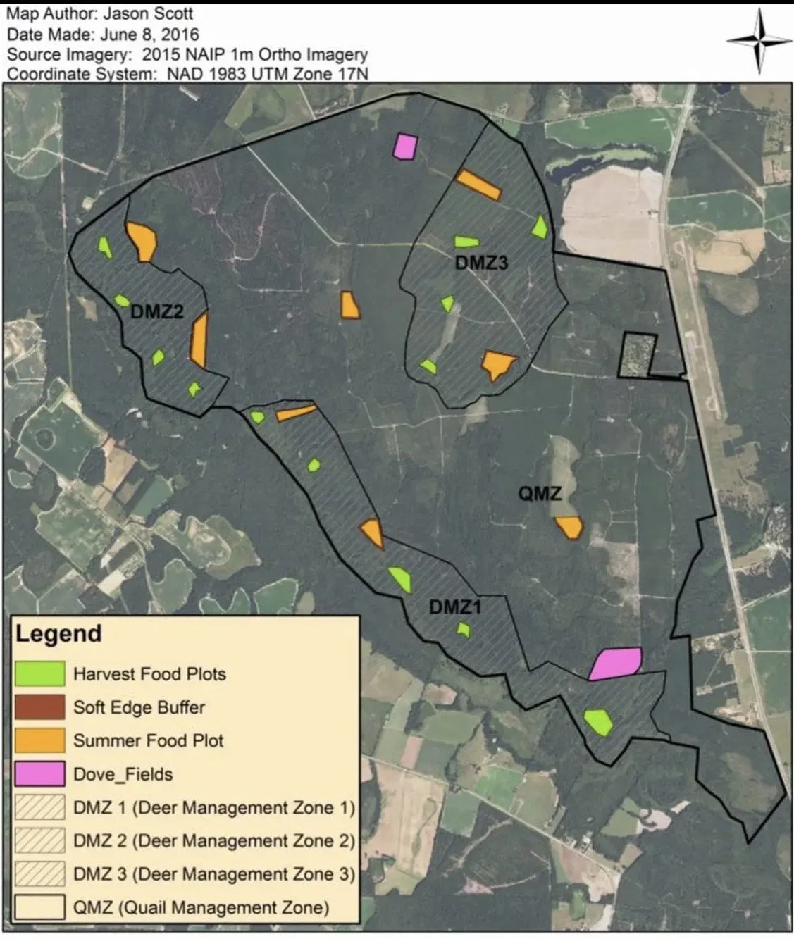
One of its earliest applications was a 5,000 acre timber tract in east Georgia. Drawing on his experience at the Jones Center at Ichauway and his knowledge of white tailed deer home ranges, Matt divided the property into a series of Deer Management Zones.
Matt was hired to design the property from a deer management perspective. He used his knowledge from the Jones Research Center and home range data to develop Deer Management Zones. Food plots, crop rotations and yearling buck dispersal were also considered in DMZ’s. A simplified version of the property management map can be seen below.
The map below shows a simplified version of the property design and its Deer Management Zones.
“An asset the size of land should be managed. There will never be more land made and that alone is reason to manage it appropriately.”
— Matt Shurley
Wildlife and Habitat Management Services
Own Land in the Southeast?
Every property is different. Soil limitations, forest history, wildlife needs, hunting pressure, and the goals of the landowner all influence the right management strategy. Our approach helps improve the performance of a hunting property while protecting its long-term value.
If you own land and love to hunt, there is a good chance you need help.